terça-feira, 16 de fevereiro de 2010

Carnival Tuesday

Okay, Tuesday of Carnival, nothing better to do, I saw some promising satellite images. I picked up my bike, my camera and went to my point of observation. I got there, and saw nothing very important, the most interesting thing I saw was an updraft that fed a rain cloud over the entire time I was there.

I decided to leave because I don't want get rain.
When I looked to the right and I think to see a few lines more organized in the clouds that I observed before, but I continued my way.
A few kilometers later, I saw that it was not just impression, there was something bigger than I thought.It was a monster who proceeded quietly.


When I was approaching the city, this was my vision.

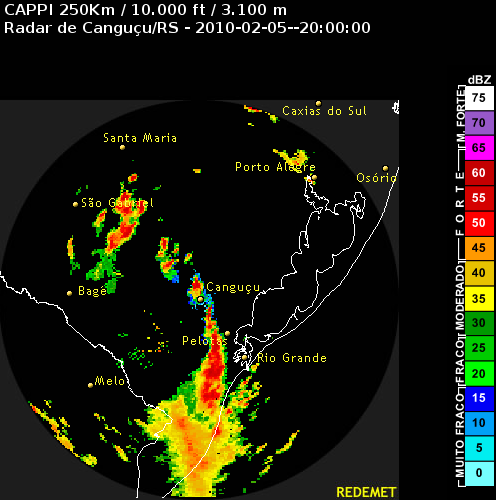
looking through satellite images, the vision was this:

Once inside the city, I saw this:


My adrenaline went up so much that I could not focus the picture. For me which I saw with my eyes was a funnel has dissipating, but it was.
I increased the contrast of this photo. The result was close to what I saw

sexta-feira, 12 de fevereiro de 2010

Severe weather potential for the next week

There's a high potential for severe storms in Brazil in the next week, especially in the south, with the jet right over RS. CAPE will be around 2000, with the lifted index about -5:


Jet stream:

18:00 UTC 15/02/2010
18:00 UTC 16/02/2010


Vertical wind shear between 700hPa and 950hPa :

18:00 UTC 14/02/2010

18:00 UTC 15/02/2010

18:00 UTC 16/02/2010


Precipitation for the next 5 days:


segunda-feira, 8 de fevereiro de 2010


I made this video on January 24, at the beginning did not seem very promising, but the cloud start to grow and grow, and the result is possible to observe below.The first photo shows how the cloud was when I arrived at my bservation point


The second picture shows the situation after the video


Here, the cumulus had lost intensity

Relief from the Heat

After a period of strong heat and stable weather, a cold front move to the Paraná bringing rain and moderate wind gusts.

Cold Front producing severe storms in SC and PR

A Cold Front coming from Uruguay is producing storms with heavy precipitation and strong winds in the states of Santa Catarina and Parana.
Here some images of the front during the day from the Simepar Radar:

19:45


17:45
16:00


domingo, 7 de fevereiro de 2010

Update on the severe storms

Updating the data from the severe storms still active in the south and southeast of Brazil:


Severe storms developing in Brazil

Several isolated supercells are developing in Rio Grande do Sul state, south of Brazil. And a sistem coming from Uruguay showing reflectivity on radar >65dbz:


sábado, 6 de fevereiro de 2010

segunda-feira, 1 de fevereiro de 2010

Forecast for the next days

Totals and Lifted index:


K index and CAPE:


Wind and Jet at 200hpa:


Precipitation for the next 3 days: